Skip to main content
Old Spanish Trail Association Records - St. Mary's University
Search
Home
Browse Collection
Old Spanish Trail Exhibit
Visions of a Transcontinental Southern Highway: The Old Spanish Trail
The Naming of the Trail
Why was the Old Spanish Trail Built?
The Culture of the Trail: Automobiles, Tourist Camps, and Scenic Routes
The Birth of Heritage Tourism
Who Built the Old Spanish Trail?
The Role of Women in the Making of the OST
The Fate of the Trail
Learn More about the OST
Student Projects on the OST
The Old Spanish Trail Auto Highway in 1929
Spanish Heritage Tourism on the OST
About this Collection
About the Digitization Process
Items
Type is exactly
Maps
of 4
41–60 of 70
Advanced search
Title
Identifier
Class
Created
Ascending
Descending
Sort
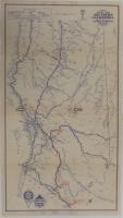
1930-1931 Highway Maps of California and Arizona
1930
Richfield Oil Company 1927 Edition Official Highway Map of California
1927
Official Highway Map of the State of California
1921
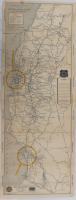
Rand McNally Official 1923 Auto Trails Map State of New Mexico
1923
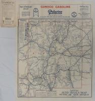
Conoco Red Triangle Official Road Map of New Mexico
unknown
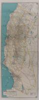
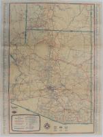
1933 Road Map of Arizona
1933
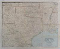
South Central United States
1947
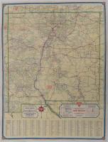
The Alamo, San Antonio; plus map of San Antonio -- with notes
Unknown
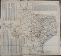
Map of Texas roadways
08-31
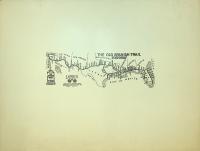
Mississippi Valley Highway (Successor to the Burlington HIghway) The Orange and White Highway
Unknown
Meridian Highway Packet
1922-1928
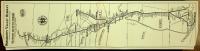
Old Spanish Trail and Connecting Roads St. Augustine Florida to San Diego, California
Unknown
The OST Copyright 1919
1919
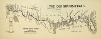
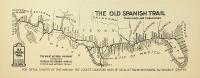
The OST Trunklines and Tributaries
unknown
The OST Highway Map, Copyright 1916
1916
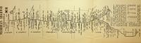
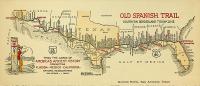
OST Southern Borderland Trunkline Map and Illustration
unknown
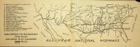
All Year National Highways
unknown
Military Pre-eminence of the OST System and Tourist Camp Conveniences
unknown
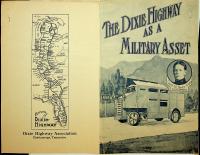
The Dixie Highway as a Military Asset by Col. Henry T. Allen, Thirteenth U.S. Cavalry
unknown (1917??)
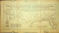
Proposed Southern Trunkline System OST and Primary Tributaries with Notes and Signature
unknown
of 4
41–60 of 70