OST Southern Borderland Trunkline Map and Illustration
Item
Title
OST Southern Borderland Trunkline Map and Illustration
Description
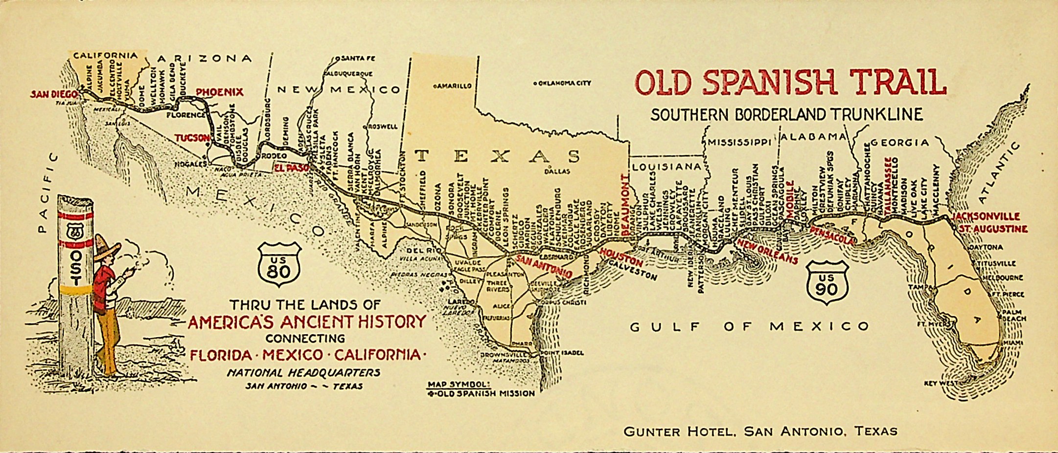
Map of the OST highway and its tributaries from St. Augustine, Fla to San Diego, Cal. Map is illustrated in OST colors and symbols. Important cities are labeled in red.
Spatial Coverage
Temporal Coverage
Creator
Date
Identifier
SC17_01_25_027 OST Southern Borderland Trunkline Map and Illustration
uri
http://dspace.stmarytx.edu:8080/xmlui/handle/123456789/2171
Extent
4 x 8.5 inches
Medium
Language
en-us